Monday, February 05, 2007

KERALA -> Cochin -> Moonar


There is this problem with Moonar – it haunts you!
Imagine, watching a sea of tea-gardens from the inside of a makeshift restaurant, sipping a cup of locally grown and brewed tea with a group of smiling foreigners and reserved honey-mooners. You might feel the tenderness in the air but then again it could be due to the rain-drops coming down almost wafting in the cool crisp air that ever so gently brushes your visage. And you see the tea-pickers with the baskets behind them returning back to their colonies as the slight fog eclipsing the jungles yonder there grows thicker…


How to Reach?
Moonar is nestled in the Western Ghats in Kerala state and 2 popular ways of reaching it are:
1) From Ernakulam (Kerala) – 140 kms and 5 hours.
Government buses charge Rs. 70 but are at distant intervals. I know two slots - 8am and 11 am. Private buses thrive in-between these slots and start from various places – Foresaw Road being one point that I know.
2)From Udumalaipet (Tamil Nadu) – 85 kms.
Most buses coming from Tamil Nadu take this route. It passes through one of India’s densest jungles of Indira Gandhi forest reserve.

Our Story...
On 26 January 2007, we six guys from Mangalore- (left to right in the pic) Hrishi, Jibak, myself Mohit, Ramakrishna, Santosh, and Pradyumna. Due to unavailability of a direct train-ticket to Ernakulam, we reached Palaghat by West Coast Express at 5 am and immediately boarded the nearly empty Rajendra Nagar-Ernakulam Express coming from Bihar. Finally, at 8:15 am, we were there at the Ernakulam bus-station having finished our breakfast. The sad news was that one bus had just left for Moonar at 8 am and next was at 11 am. At Foresaw Road, a private bus was to leave at 9 am but there is always a little unprofessionalism associated with the private buses. So, I decided to show Cochin to other guys who had not seen it.

Cochin (Kochi)
We reached the nearby Main Jetty and waited at the ferry ticket office (Rs. 3; 15 mins). Once in Cochin, we hired two autos (Rs. 50 each for 1 hour) and went straight into the fish market where the Chinese fishing-nets were in suspension.

Next on the agenda was the Basilica – one of the two Basilicas in India, the other being in Goa. A simple and serene white structure, richly decorated from within with paintings and frescos from Italian artists. A mass was to be held at 10 am and so the caravan rolled on..


The St. Francissi Church is one of the oldest churches in India. It is also special as it once housed the tomb of Vasco de Gama for a few years before it was shipped to Portugal. Later, the Dutch also laid claim to this Church and hence Portuguese and Dutch engravings are on separate sides in this Church. Please note that photography is prohibited and so are footwear.

Finally we were back at the port. However since the return ferry took quite long to arrive at the port, we reached the bus-station at Ernakulam just in the nick of time and straight-away ran for the bus to Moonar.

And hullo, what a sight to behold in this stuffy and rickety bus. How shall I put it ..this way may be… a truly multi-national group of passengers with some real liberal-minded ladies …cannot blame them as the ambience was unbearably hot and humid even for us Indians…and we guys (unable to get a seat together) had to squeeze ourselves amongst them. Oh, boy!

And thats the way it was for 5 hours till we reached Moonar through Aluva and Thrissur. Now, for the accomdation part – we were in for some mild activity. Surprisingly, there was this privately run one-room ‘Free' Information Centre right next to the bus-stand. I warned myself that this is too good to be true; but then, what else had we for a start? And besides that’s where the ladies were headed too..


Now the budget which we offered (Rs.1200 for 6 guys for 2 days) only managed a wry smile from the operator and a forsaken hut on top of an isolated hill, which literally brought Jibak’s foot down heavily. So, the budget was upped and so were the antennas and an hour into the whole game, we signed off into the logbook of Chamunar Lodge (behind the famous Sarvana Bhawan Hotel) for Rs. 2100. Fair cost for being in the very heart of town and the panoramic view it had to offer. We all agreed on the neighbourly ambience as well.


Right next was the Sarvana Bhawan – the undisputed joint of the town where all kind of people relish the food on the banana leaves. It is known for its flat rates, reasonably good food, blitz services and amiable nature of the staff and this is where we had all our snacks for the next three days.

27 Jan - Day 2:
Next day, we hired a jeep for a one-day sightseeing (Rs. 1200 till 6 pm in night). There are four directions these drivers foray:
Madupatty Dam Direction
Photo-point (4km) - comes first and the photo on top refers to that.
Jungle Honey Bee Nest (5km) – few bees inhabit an old tree for some reason– why bother them, I ask!
Mount Caramel School and its scenic gardens came next, followed by the auditorium hall of Tata’s local community school.
Madupetty Dam (12 km) is truly beautiful and photogenic. It offers paddle, row and speed boating. And going by the excitement around, it sure should have been fun. We munched (a few corns) over the idea but decided to move on.
Indo-Swiss Project (14 km) is where the finest bulls are reared for artificial insemination.
Elephant Point – at the next curve is so called as the elephants gather there for collecting chopped down woods. This is a disturbing trend as most of the dense forests over here have literally disappeared and converted to tea-gardens. A decade down, the environmental costs will be massive and non-footable to all parties here..
Echo Point (20 km) was our final destination in this direction. The first thing that you realize here is the opposite hill has been stripped shamelessly. There was no echoing of voice either and the only thing that echoed for much longer time in our hearts was all the chopped woods thrown into the river that reminded the visitors of the recent plunder. There was also boating to be had but who would boat into so heart-rending a scenery. Several hawkers sold off their wares and a photo on the left will speak for itself. There were ayurvedic and acupressure rollers, cup-stands, religious idols, kitchen utensils made of wood, jewelry-boxes and such categories. We had tea, roasted and salted cashewnuts and roasted corns and left swiftly for Moonar for Lunch.

Coimbatore Direction
Post lunch with cell-phones and body recharged, we left in the direction of Coimbatore. The scenery is breath-taking here and we reached the Eravikulam National Park (popularly called Rajamalai) at 12 kms. Here one has to board the National Park’s mini-buses (Entrance is Rs. 15 and another Rs. 15 for bus) which are pretty frequent. This is the ride of a lifetime – lush valleys of tea-gardens with interspersed forests and a stark black mountain soaring in the near vicinity. (They say, even this road to the Rajamalai Park is owned by Tatas) The bus halts after 15 minutes of joy-ride and a mile of trek upwards takes you close to the rare specie of goats – Nilgiri tahr. A few of them graze along the roads for the benefit of visitors. Other areas are out of bounds for the visitors. Towering besides us is the gigantic black cliff - some say that this is the Anna Malai, one of the highest peaks of South India, but I have my misgivings. I believe that the peak in discussion is visible from the other side of this black cliff, where one is sadly not allowed. One more thing: the kurinji flowers had all dried by now after having bloomed in last rainy season. They bloom once in 12 years and when they do so, their color gives such a blue tint to the whole mountain range that it is called Nilgiris (the Blue Mountains). We returned and left further for Luckom falls (26 kms from Moonar). The dense fog caught us off-guard and it was like going down into clouds! Frankly, the fall is a pretty ordinary one and and a drain on one’s resources – I recommend please give it a miss unless one is coming to Moonar from Udumalaipet direction and that too in one’s own vehicle. We had some snacks at a shack and left even as weather turned frosty and gloomy.

As we reached Moonar by 6 pm i.e. nearly sun-set time, the driver refused to travel in Thekkady direction which had Devikulam lake to offer at 14 kms. We protested but to no good and had to shell out the agreed amount of Rs. 1200. An advice here is to agree to Rs. 1000 for sight-seeing as you would not be able to cover all that is being promised on paper.

We had meals as usual at Sarvanan Bhawan. A memorable round of 3 hours of DumbCharades (Haqeeqat and Vastav names of Hindi movies took nearly half an hour each to enact, :)) late into the night.

28 Jan - Day 3
The next day, we packed up and after the early breakfast, left for Blossoms Park (3 kms) by 2 autos (Rs.20 each). The park (entrance fee of Rs. 10) is small but beautiful with a childish do-it-yourself ropeway and row-boating (Rs. 30). The view of the nearby tea-gardens and jungles nearly summarizes Moonar in a single panoramic sight.


We returned and checked out of Chamunar Lodge. We caught the bus to Ernakulum at 13:30 and reached by 18:00 with still some 2 hours to spare for our train back to Mangalore.

Friday, December 29, 2006

KAR.-> Kudremukh Trek


Kudremukh Peak lies in the Western Ghat Range in state of Karnataka and after which the Kudremukh National Park (KNP) and Kudremukh Iron Ore Co. are named.

Why indeed we (Hrishikesh, Brajesh and I Mohit) should be drawn to Kudremukh when we did not have trek-worthy maps, equipments and experience can perhaps only be explained by pictures of these valleys' trademark lush-green carpeted slopes interspersed with thick forested creeks. Nevertheless, this blog will sufficiently disenchant you so that the very name ‘Kudremukh’ shall send a shudder to your spine next time....

http://www.karnatakawildernesstourism.org/Trekking_opp_in/Kudremukh.htm


How to Reach from Mangalore:
* Mangalore to Beltangady (64 km; Rs 31; 2 hr) on NH-13 to Chikmaglur (Dist. HQ in Karnataka not far from Mangalore);

* Beltangady to Navoor (12 km; Rs 10; 20 mins);
* Navoor to Navoor FRH (3 km; Auto Rs. 30);

* Navoor FRH to Kudremukh Peak (18 km trek; take your own sweet time)

24 December 2006 (Might as well have been our last day!)
We had little idea of the Kudremukh-trek’s length and terrain’s difficulty and only knew how to reach the Forest Rest House (FRH) where we expected more guidance. Please take note of how we managed to do most of the things pretty wrong in the start itself:
· Began late from Mangalore Bus terminal at 0745.
· Caught a dilapidated govt bus which ensured we didn't catch a wink for 2 hours, courtesy its state-of-the-art Indian Dolby surround-sound system.
· Overshot Beltangady town by 5kms to reach Ujire and then returned back. At Beltangady, we waited for half an hour, sitting in a private bus, watching it getting stuffed with villagers and their stuff. Once it did start, the next 20 minutes till Navoor village were intimately body-hugging and soul-lifting throughout.
· We walked 3kms from Navoor (where the private bus unboarded us) to the Navoor Forest Rest House (FRH), when we could have simply picked an auto-rickshaw.
· Instead of the anticipated night-pass and guidance for Kudremukh National Park at FRH, we found it locked. ( “If something can go wrong, it will” - Murphy)

After a brief rest at the locked FRH’s altar, we fortunately met a young village chap – Prasanna. This is when we first came to know that Tholali Anti-Poaching Camp (APC) is 12 kms from Navoor FRH and Kudremukh Peak is another 6km further from APC. Also, some Gowda families near Tholali rent out their huts for a night halt. Thanking him, we estimated that that Tholali should be comfortably reached by sun-set. (This day-dreaming was to cost us a dreaded wakeful night later!)

Soon after the FRH we came across the open gate and noted down the Phone number on the board posted some distance away, though Kannada script was incomprehensible to us. The road ahead was metalled and wide but winding. Therefore, once we came across the 0.5 km stone-mound mark, we decided to abandon the winding road and venture into the much steeper and shorter jungle trails which reassuringly crisscrossed the winding road frequently. This was a fine arrangement and we thought that if the road was 12 kms to Tholali APC, the trail will only be lesser, quicker and sporting!

There were no leeches fortunately as rainy season had ended a few months back but the flip side was that the sun was in top form and the jungle was dry.


Slowly, several things began to dawn upon us, each more horrifying than the previous in its import:
Our jungle trek reassuringly crossed the road several times which meant we were on the right track. However, while the lower section of the road was wide and metalled, the upper sections had pitifully crumbled and sported ferns instead of tyre-marks – which meant that the road was not frequented of late at the upper sections of the hill.


The jungle trail too had become much narrow and there were instances where the visibility was less than a meter as several knee-high plants and waist-high grasses had shadowed the boulder-ridden tracks. So, neither rangers nor villagers nor poachers nor encroachers or what have you, came this way either.

Meanwhile, our stock of 3 litres of water had shrunk to just 1 litre and all the waterfalls that we went past had dried up!

Then puzzlingly the jungle trail did not cross the road again!! We do not know for sure whether the road had ended or not as we only remembered that we had crossed the road last time half an hour ago. Anyways, returning back was not much of an option and we decided to continue on our trail further.


For some time, the milestone mounds were coming on the jungle trek as well, and we had to confront the truth that Tholali APC was not 12 kms by road (that too, if the road went till there at all) but 12 kms by this jungle trek and we were still at just 5 km mark!

So, we decided to do some SWOT analysis:
Strength - we are in this together, the trail is ahead of us, the milestones indicate how far we have come from Navoor FRH and we have got adequate ration and sleeping bags.

Weakness – we were in Kudremukh Park without a night-permit, the milestone mounds do not convey how far we have to go or if we were still on the right path, we had little water; the metalled road had gone missing, no mobile connectivity, no human habitation, no arms or torch or tents and increasingly weary legs.

Opportunities – glimpse of Kudremukh Peak and valleys

Threat – Neither the wildlife (rather, a few monkeys did cheer us up) nor the thought of sleeping in the jungle bothered me as much as the fact that the area was Naxalite-ridden (local fire-brand militants); and that an encounter with Naxalite or a case of mistaken identity might not make it to the newspaper editor’s desks!

To put it in a nutshell – we were in a soup.


As we dragged ourselves tight-lipped over the uphill trek, all of a sudden, we heard the lovely sound of fellow beings. We soon exchanged greetings with 2 villagers who were on their way down. In the absence of a common language, Brajesh used some basic Kannada and they too sportingly used some rudimentary English. The good news was that water was available 1 km further at the other side of the hill. The bad news was that Tholali was indeed 12 kms from Navoor by jungle trek and there would be the same uphill trek throughout, without a single habitation to be seen till Tholali.


By 7 km milestone-point, we were arguing whether we would be able to reach Tholali but Brajesh was clear – we were not stopping midway. So we ascended higher – a waterfall here, a spectacular vista there. However, our legs were aching and nothing is more dangerous in an uphill climb than legs rebelling against you even as precipices accompany you throughout.

At 9 km point, when I felt that my knees and tendons had begun to disobey me, even though only slightly, I decided to put my foot down literally. Thankfully by now, Hrishikesh and Brajesh too concurred. So, at 9 km point, a little away from a waterfall and on the trek’s path itself, we dropped down and unloaded. It was 04:30 pm and there was enough time to reach Tholali but our legs refused to carry us further.

And yet, after some massage, we decided to sportingly check our surroundings. The path crossed a small waterfall a little further and there was a 9.25 km mound just before another steep climb began. As we were not game for any more steep climbs, we returned back.


The hills turned ember with the setting sun and we spread the rug at 6 pm on the ground and unzipped the two sleeping bags. I immediately proposed that both Brajesh and Hrishikesh should sleep till 11 pm while I keep vigil. Their readiness to this proposal made me smell a rat. Anyways, the next 5 hours turned out to be my most wakeful hours of life, with a stick in one hand and a knife in the other as constant companion. There was no torch, nor did I use the mobile’s flash as not to attract trouble.
As the night descended, the jungle seems to have acquired life. Some wild cats dueled in the nearby waterfall as perhaps to who shall have me over for dinner (I being the meatiest of us three), and the trees silhouetted against the dark-grey sky rustled even without any perceivable wind as though whispering our accurate geographic locations to all who cared to listen. I was amazed at the tricks a dark eerie jungle can play with even a sane and alert conscience – quite an indelible experience for me. This was indeed a characteristic Christmas Eve, “Silent night, holy night; all is calm, all is bright”!


Turn by turn, we all took guard. The idea was simple – one guy will sleep soundly, one guy will remain vigilant with a stick and knife and the other guy will chatter with him occasionally in the beginning for him to acclimatize with the darkness. The wind was unbearably cold and the vigilant needed two jackets though the sleeping bags were cozy enough.

After just 4 hours of sleep from 11 PM to 3 AM, in which Hrishikesh had been a brave vigilant, they again woke me up and I again remained groggily wakeful till 6 PM, when I decided to kick Brajesh out of the sleeping back. He had occupied the bag successfully for 12 hours! The sky was slightly iridescent at the horizon though it was still not dawn yet when Brajesh finally decided to do his bit for the next 2 hours.

25 December 2006:

Me and Hrishikesh woke up amongst truly beautiful sunlit valleys and stretched ourselves fit. Brijesh had taken several morning snaps by now. The joy was writ large on our faces and all the tiredness and pessimism of the previous day had disappeared much the same way as dews were gone with kiss of the first sun-rays. Today was Christmas and also my birthday! We had bought a plum cake in the beginning, and this was truly the most bizarre birthday I ever celebrated, the others being once in train and another in a railway stationJ.


We began descending by 9 AM and made it pretty quick to the Navoor FRH within 2 hours or so. Overpowered by the joy of descending back to the human milieu, we had sprained our ankles and all found the last mile the most difficult! We met the smiling Prasanna chap again at his field and thanked him and then Brajesh took a quick bath at the locked FRH’s garden tap while I massaged my legs. We were now utilizing the water collected from the waterfalls filtered by my vest as seen in the pic!


Therafter we walked another mile before we pulled up an auto and then the bus from Navoor point to Beltangady town… we reached Mangalore city by 3:30 PM.

The next morning, the newspapers’ front-pages featured the news of a certain notorious Naxalite named Gowda, shot down in the other region of the same Kudremukh National Park while his other two female companions escaped. The anti-Naxalite forces had fired at his refuge in the bushes as they saw a flickering torchlight, and later in the morning recovered his body and ammunitions. Ironically, it seems to have been fortunate for us, not to have packed even something as basic as a torch with us since we too did not have a night-permit nor could comprehend local dialect nor Indian Forces follow such niceties before 'ambushing' make-believe Naxalites.

Kudremukh National Park would remain etched in my memory both as a picturesque and pristine sanctuary and a haunting trek into the wilderness which could have turned tragic. I recommend to others: caution!

Woods are lovely, dark and deep,
But there are warnings to heed!
And miles to go before you peak…
And miles indeed, for I know what I speak.


KAR.-> Mangalore -> Pilikula Nisarg Dham


Pilikula Nisarg Dham is being developed as a one-day outing destination into nature - lake, water park, zoo and science centre - essentially a fun place for family and friends.

Where? 15 kms away from Mangalore (Karnataka) in Vamanjoor area.

[ On 23 Dec 2007, Brajesh, Hrishikesh and myself (right to left in the pic) enjoyed our half-day tour of Pilikula and hoped to return soon, this time prepared for the water amusement park as well. ]

What All? Pilikula has a:
Lake – (timings:1000 – 1800; Rs 10; camera Rs 25; video camera Rs 100)
As the guide would wax eloquently: A serene lake surrounded by manicured lawns at its periphery of 1 km to take a stroll around or rest under the cool shades of a tree and watch the ducks frolic or better still peddle boat (Rs 40 for 2-seater; Rs 60 for 4-seater). The place is well-frequented on Saturday and Sunday by lovers and college folks. However, a good eatery is missing here.

Biological Park – (timings: 0930-1730; Tuesday closed; same charges as above).

The zoo is small but sufficient for rekindling the childish chuckles even as the place gets swarmed with pupils from several schools, and teachers trying to present some resemblance of order amongst them.
For your eyes only:
CATS: Wild cat, civet cat, Jungle cat, leopard, tiger.
SNAKES: Rattle, pit viper, cobra, russel viper, krait
AQUA: Crocodiles, Common Indian Monitor, tortoise
TERRA: Black buck, deers and sambars


Manasa Water Park – (Rs 190/- and same as above for Cameras). This we did not got to see as we were not.. ahem..well-equipped. (sigh!) But considering the number of private buses that had queued up outside its gate and lively music being played, it must have been good (alas!).

Science Centre and Golf Club are two more features of this area.

How to reach? Bus No. 3 from Mangalore (It sports a big Yellow Tiger logo with ‘Pilikula’ underneath it.)

Advice (Basically everything we did not do) -
1) Carry a decent hat (Sun shines hardest on those who fume the most)

2) Be prepared for thirst (Lake's water is not potable and therefore neither is sold bottlewater ;-))

3) Carry some sports items like frisbee, softball.

4) And most importantly, there is little point in coming out this far by bus, braving the heat and not enjoying the Manasa Water Park (and concomitants). So, carry an extra pair of clothings, and adequate cash.


Hope you pals have a great time.

Tuesday, October 03, 2006

KAR.-> Jog Falls, Gokarna & Murudeshwar

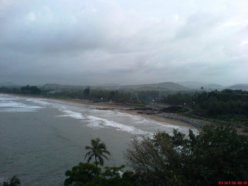
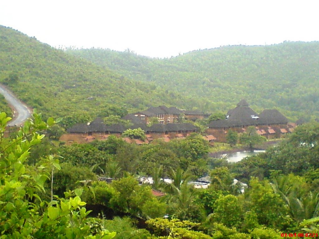
The state of Karnataka offers these three delightful places: Jog Falls which are India's highest falls, Murudeshwar a picnic beach spot and Gokarna beaches for treks and baths in the wilderness.

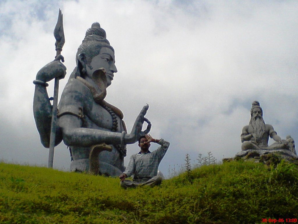
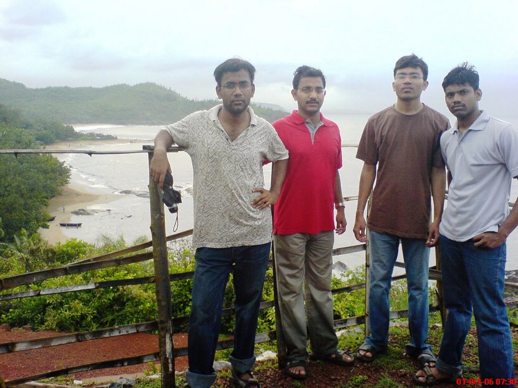
(In the pic from left to right) Satya SM Naidu, myself- Mohit, Hrishikesh, and Ramakrishna are at Om Beach. We left Mangalore by 0730 Mangalore-Madgaon Passenger train and reached Murudehswar at 1130; alternatively sharing the 2 seats in the general compartment. The second pic is at Murudeshwar, doing pranayam aasan. Soon at lunch time, we discovered that none of us had cashed in from the ATM; that finances were low and no ATM was in sight in Murudeshwar…

Murudeshwar Beach Town offers it all:-

  • A gentle curving beach graced with the speed-boats.
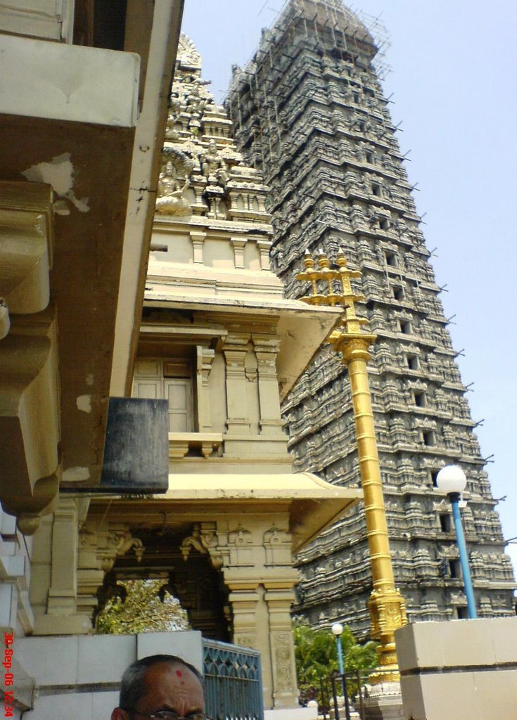
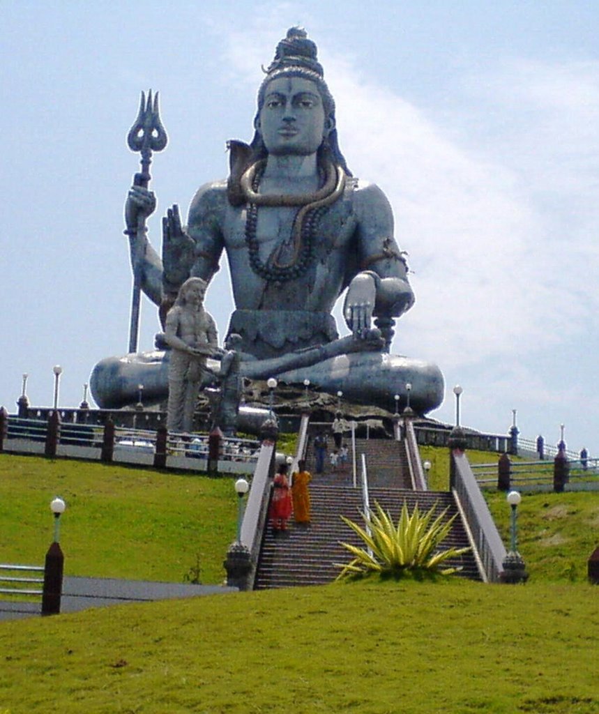
  • A towering temple nearing completion and a beautiful Shiva statue seated atop a nearby hillock amidst the manicured lawns.
  • Hotels and restaurants.
  • Easy connectivity

Gokarna: Town and Beach
Gokarna is another sea-side town, bigger than Murudeshwar. The town basically appears to be a temple-town with tribal and fishermen communities living together, and has developed rapidly thanks to tourism. Konkani and Marathi influence is perceivable as well. The Gokarna beach is well-frequented and gradual in slope. However, some sand covered rocks can stub you in the feet unexpectedly or can even make you loose your balance.

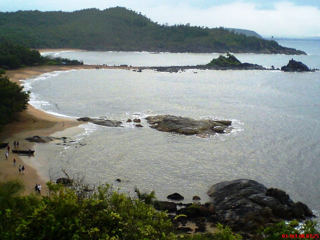
The town’s claim to fame is not just confined to the Gokarna beach and the Lord Shiva's temple next to it, but the series of mystic beaches nestled amidst the hills yonder there - Kudle Beach, Om Beach, Paradise and Half-Crescent Beach. There are no temples, no markets and only a handful of people out on those beaches. Essentially, there is just the sound of waves crashing on the rocks endlessly. Nirvana...

We reached Gokarna by the most uncomfortable way: four back-to-back back-breaking Great Indian Tempo (mini-bus) journey. From Murudeshwar to Honnavar (25 kms), then to Kumta (25 kms), then to Gokarna Cross Road (25 kms) and then to Gokarna town (10 kms). In between, I had cashed in at the ubiquitous SBI ATM at Honnavar (relief!). We lodged at the Savithri Lodge and after a visit to the Gokarna Beach and Shiva temple, had our thalis (Combo meal) at the Pai Restaurant and slept early. Next morning at 0600, we left Gokarna in the dark (both metaphorically and meteorologically) for the famed beaches of Kudle and Om.

Kudle Beach Route- is 20 mins light climb from Gokarna Beach. We walked along the Gokarna Beach for 5 mins to the south, then another 5 mins on the hill road climbing up till a temple and pond compound came. We climbed up the staircase to the hill-top, and found ourselves in the verdant green plateau where we noticed a large boundary drawn up with stones with a pitch in the middle - Cricket. (We expected the rains at this time of the year and had umbrellas for a brief spell of strong rains that occurred near the Cricket ground. It wasn't a show-stopper. ) We crossed the ground and followed a muddy cart-track going down the hill narrowing all the way unto a make shift restaurant under construction by a group of Nepalese!! This is Kudle beach. A series of huts, inhabited by foreigners out here to soak some sun in seclusion, dot the place.

Om Beach Route- was 30 mins walk from Kudle Beach in the same fashion. We walked across the small Kudle Beach for 3 mins to the south and climb up the hill on the beaten track to the hill-top. We decided not to follow the concrete road there but walked across the plateau. It featured the black igneous rocks and small plants planted by the localites. Then, we explored the small region a little and soon noticed the white paint marks heading down the hill to a distant beach. A road also reaches the beach and there is a village resort being built there as well. This is the Om Beach. A ‘Namaste’ restaurant down by the beach side is definitely to be recommended here - they offer internet, taxi booking, foreign exchange and an excellent bouquet of meals.

Similarly further south after the Om Beach are the Paradise and Half Crescent Beaches..

By 0930 at Om beach, some more autos had arrived with tourists and we took an auto back to Gokarna (Rs. 100). From Gokarna, we checked out and boarded the govt. bus to Kumta at 1100 and from there a Tempo to Honnavar. We lunched at Kamet Hotel –perhaps the best place for dining here. Then a Tempo ride to Gerusuppa(32 kms) was a lifetime experience: like a loving mother to its children, the 16 seater Tempo took into its fold 32 people, all folded up! What’s more? At Geruuppa we stood waiting for another Tempo to take us to Jog Falls, when in came a small van, and the driver agreed to take us to Jog Falls, at a very nominal charge of Rs. 160 with a tire-burst thrown in as well…

Jog Falls:
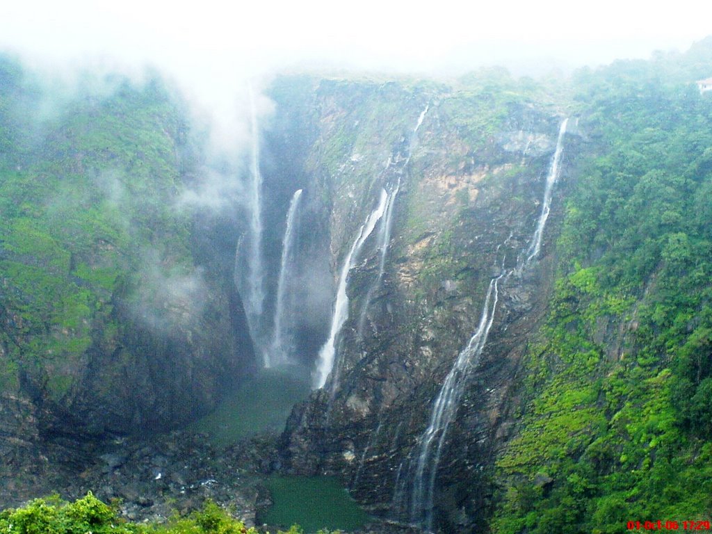
India’s highest and most spectacular falls, on the Sheravati River. There are four distinct streams: Raja, Rani, Roarer and Rocket (Don’t ask me which is which). Depending upon the gate movements of the nearby dam, the appearance of fall could range from Niagara Falls (during Monsoons) to a mere trickle. A few dare to descend down by stairs for half an hour to cool off under the Falls after which climbing back up all those stairs looks Himalayan. When in full spate, fall’s lower reaches are out of bounds. The place has reasonable facilities of a few lodges, one restaurant, and a small shopping complex.

We arrived in evening at 1730 and just-in-time to catch a few pictures before Jog Falls became the Jog Fogs. A sudden spate of rainfall brought us under a nearby cow-shed. Now, the Indian Cow is curious in her own ways and is naturally to be pardoned for their interest at our rucksack! We boarded the lone private bus to Mangalore at 2030, which thankfully started from Jog Falls only and reached Mangalore at 0400.

How to reach:
Murudeshwar and Gokarna are 160 and 250 kms north of Mangalore respectively on the National Highway to Madgaon (Goa). Few passenger trains stop at the local stations. One is from Mangalore at 0730 and reaches by 1100 at Murudeshwar and 12:30 by Gokarna Station (from where the Gokarna beach town is 10 kms.)

Jog Falls are situated between Honnavar (61 kms) and Sagar towns. No trains reach these hills naturally. But excellent Bus connectivity is there from capital Bangalore and Shimoga town. Infact, all buses plying between Mysore/Bangalore and Goa pass through this National Highway No. 204 on which lies the Jog Falls.

Saturday, September 02, 2006

KERALA -> Bekal Fort


Bekal is a complete 1-day getaway, cached away in North Kerala and boasts of the following:
  • Bekal Fort
  • Bekal Beach
  • Aqua Park for boating
  • Dense forested landscapes for trekking and picnics
Location: Bekal is a beach village, Kerala's northermost district of Kasargod. The town of Kasargod is 25 kms to the north, from where 50 kms further northwards, lies the port-city of Mangalore (Karnataka state). To the south of Bekal village, at 90 kms, lies Kannur town.

How to reach: Simple. As Konkan Railways is only a decade old in this region, bus service is excellent. From Managalore, buses to Kasargod district are every 10 minutes (1.5 hrs). And similarly from Kasargod to Bekal (0.5 hrs).

Though, only a few trains stop here - they are an excellent option for the view of the Western Ghats (lush forested hill-range extending right across the length of western Indian coastline). A train passes Kankanadi (10 kms from Mangalore) at 0715 and reaches Bekal at 0900. A return train passes Bekal station at 1730 and reaches Mangalore City Station at 1900. Cool!

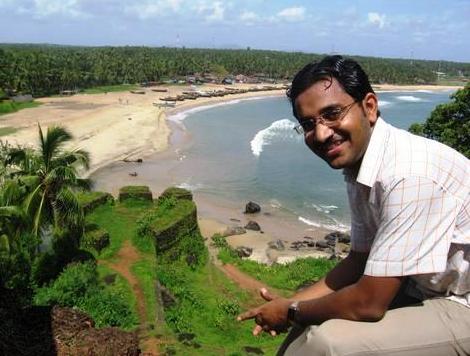
Shiladitya Chakrabarti from Bangalore and myself from Mangalore undertook the Bekal trip on 27 Aug, 2006. We reached here by bus and returned by train.

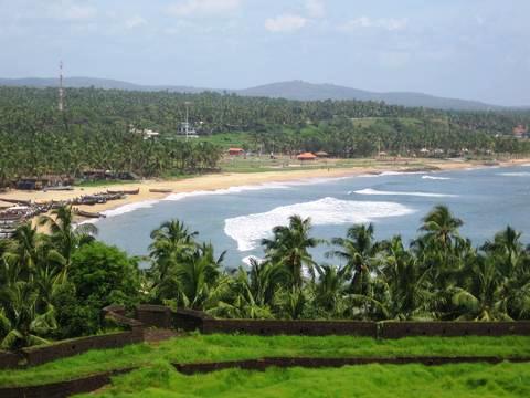
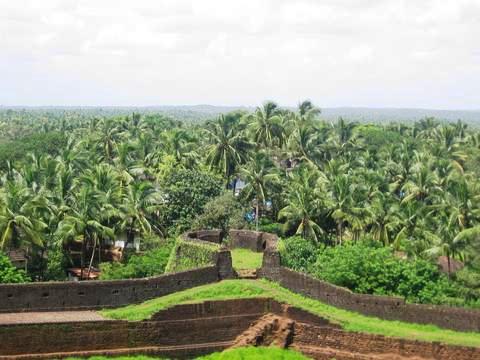
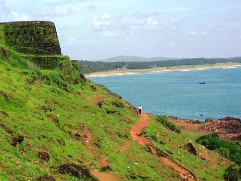
Bekal Fort (I guess, timings are from 0900- 1700) is some 350 years old and a member of the family of sea-ports which dot this countryside from Kumbla to Kannur. It has exchanged quite a few hands from Kolathiri Rajahs to Hyder Ali to Britishers, and is currently cooling off in the care of ASI. The fort has cannon mounts and underground tunnels and excellent view point overlooking the Arabian Sea and the Bekal Beach.
A point to be in kept in mind is that the fort has no trees and a cap comes very handy against the sun-shine. Ditto for lunch and snacks, for the fort offers little facilities.

Bekal Beach - is only 700 metres south of fort and enroute the Bekal Park (under construction) and Bekal Station. The beach is serene and alluring and the local fishermen community, offloading fishes and playing a rond of card-games is friendly. The beach can be approached from the road and also directly from the Fort by walking along the sea-side. The Bekal Railway Station is thus only 1 km away. It is the smallest railway station from which I have caught a train and very uncharacteristic in the sense that there is neither a tea-stall nor any vendor. Just a small station room and a few passengers, and the train stops long enough for you to hop in.

Konkan Railays offers such speactacular views as the those shown below: Let the pics talk...